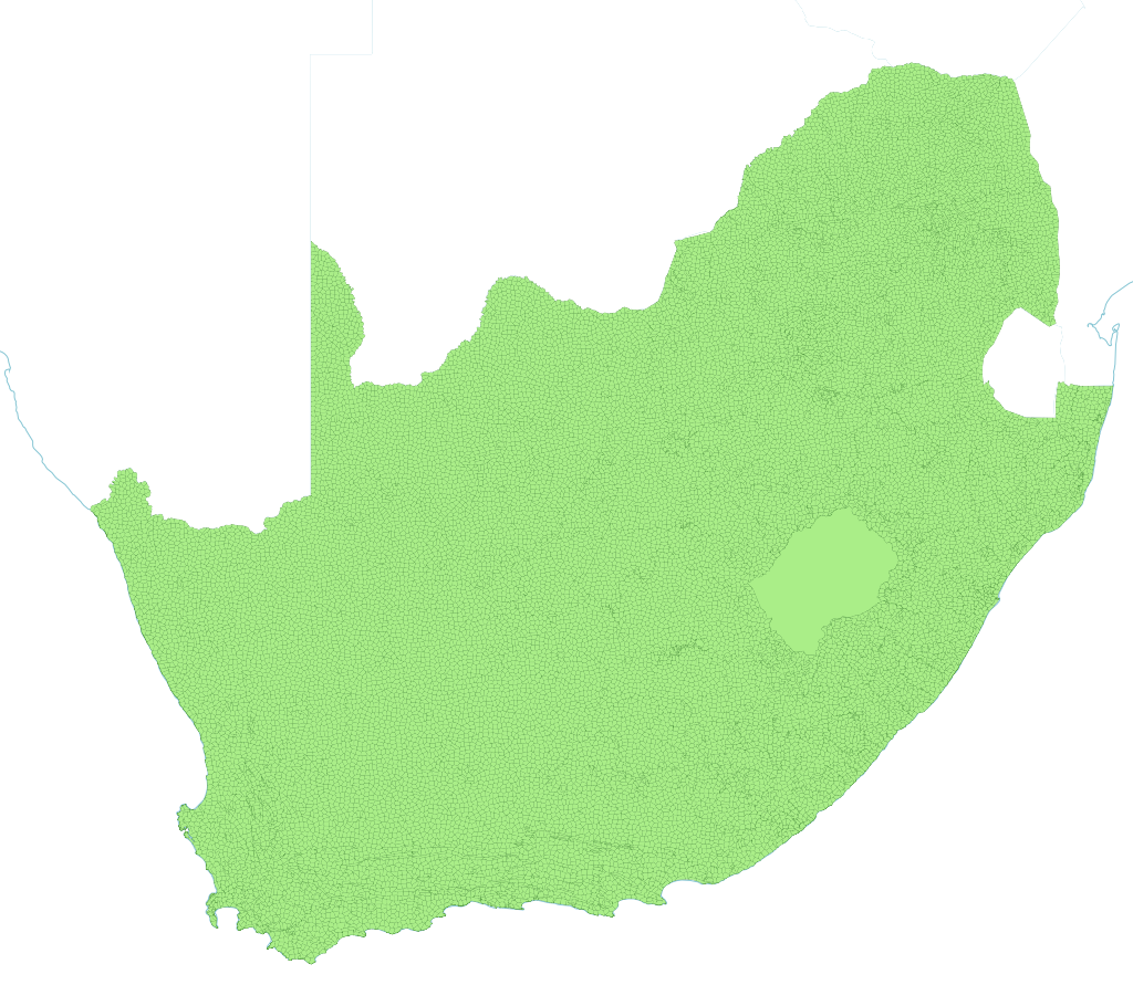
South African Shapefiles, GIS data and other useful mapping stuff
Some of the map files (ZIP archives and shapefiles) are stored using a small add-on called Git LFS. If you skip the steps below, those files may stay tiny and will not open properly.
- Install Git LFS (free): git-lfs.com. On a Mac with Homebrew you can run:
brew install git-lfs - Open Terminal, go to your copy of this folder, and run:
git lfs install(only needed once per computer) - Then run:
git lfs pull
If you already cloned the repo before doing this, run steps 2 and 3 inside the project folder and your map files should download correctly.
Planning to contribute changes through Git? Install Git LFS and run git lfs install first so large map files upload correctly when you push.
You do not have to download the whole repository.
-
Using the website: Open the repository on GitHub, browse to the folder you care about, click the file you want, then use Download (or the ⋮ menu on the file view). Repeat for each map file you need.
-
Using Git: After cloning, you can fetch large files for part of the tree only. For example, to pull just the
Wardsfolder:GIT_LFS_SKIP_SMUDGE=1 git clone https://github.com/j-norwood-young/SA-Maps.git
cd SA-Maps && git lfs install && git lfs pull --include="Wards/*"Change
Wards/*to match the folder you need (for exampleVoting Districts/*).
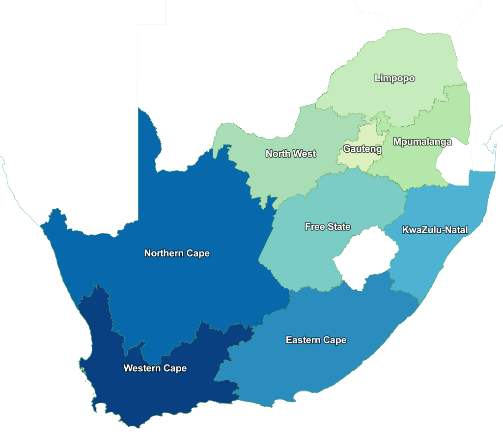
Source: http://www.demarcation.org.za/
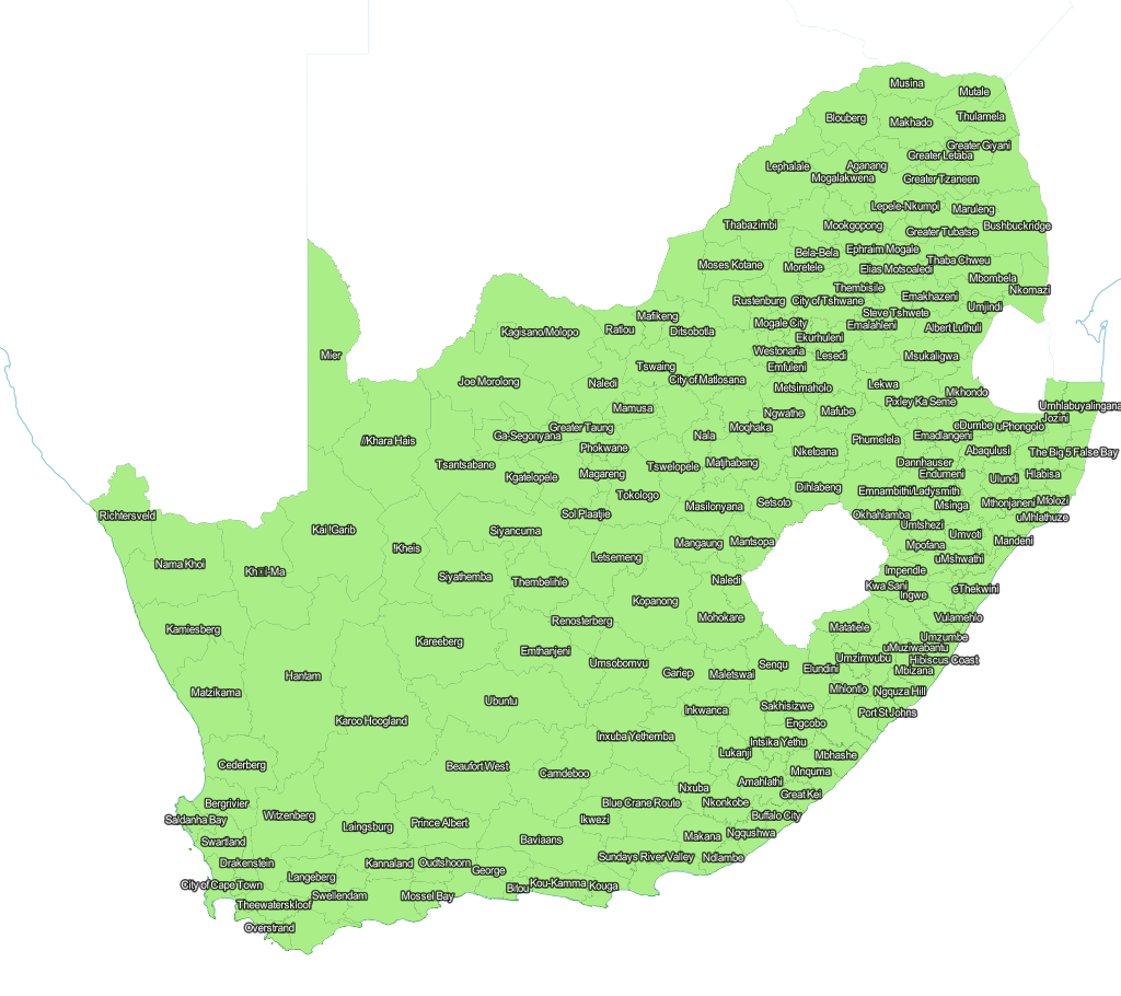
Source: http://www.demarcation.org.za/
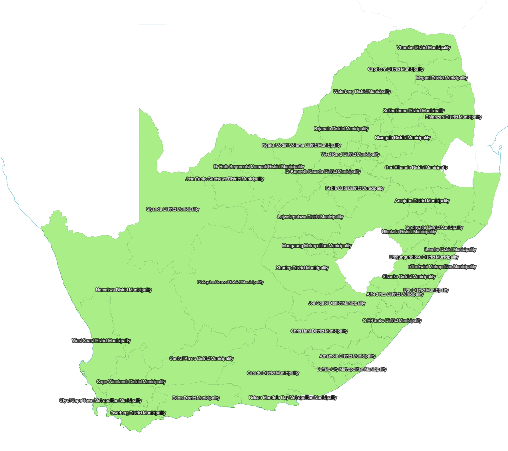
Source: http://www.demarcation.org.za/
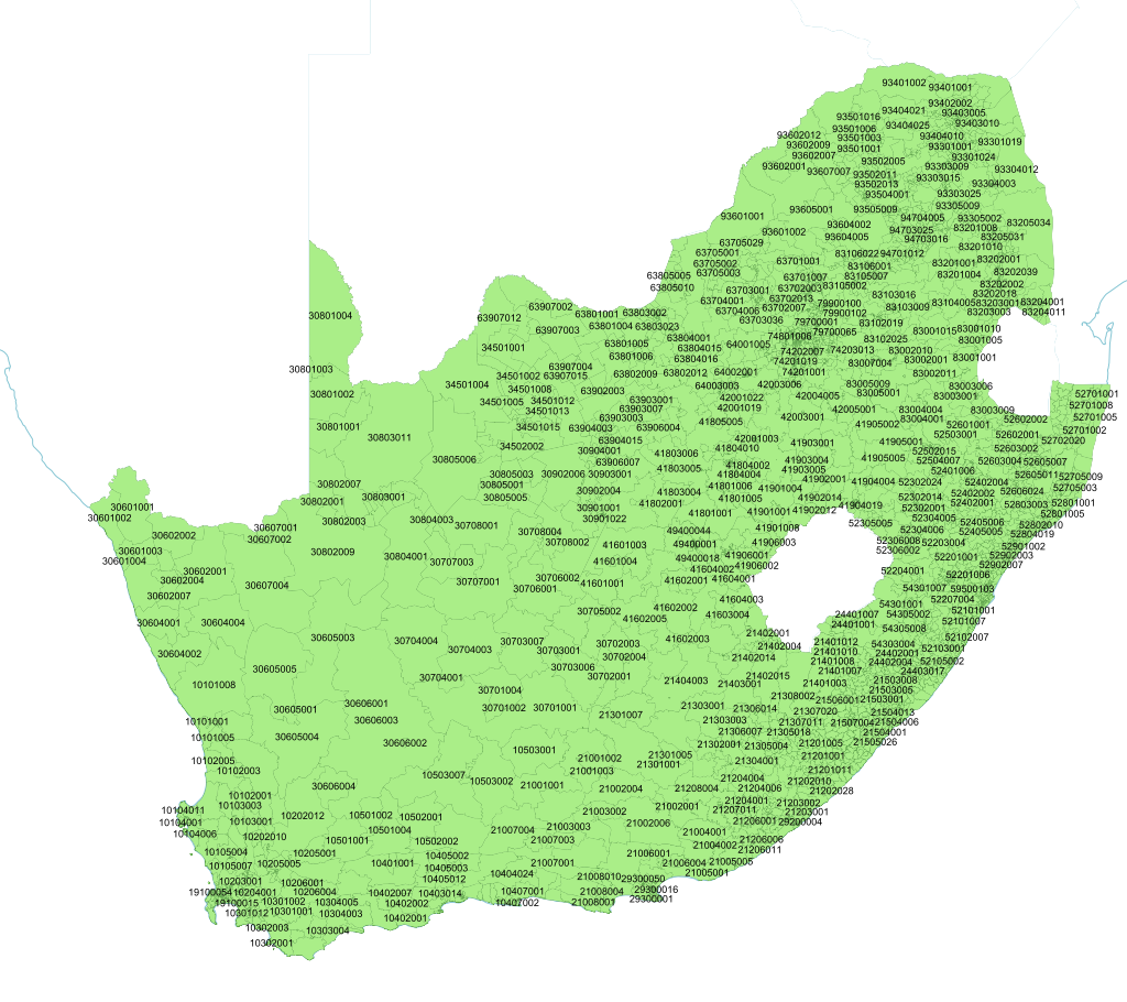
Source: http://www.demarcation.org.za/
2021 Voting Districts

Please note that these are ZIPPED UP becaue of Git's 100MB file limit! If you make changes, zip it up again and add the zip, not the voting district folder.
Source: https://www.elections.org.za/
School data includes all the schools in South Africa according to the Dept of Education (data for 2012 and 2013), plus education districts. Please note that education districts don't seem to be 100% accurate, especially in North West, and there are no school district names provided by the Department of Basic Education for Mpumalanga. Weird.
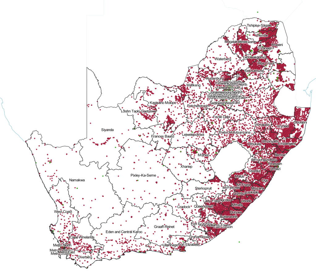
Source: http://www.education.gov.za/EMIS/EMISDownloads/tabid/466/Default.aspx
Command we used for making CSV smaller (2012 data):
cut -d, -f 1,5-6,11,25-26,31,33,35,37,39,48-65,100-101 input.csv > output.csv
Command we used for making CSV smaller (2013 data):
cut -d, -f 1,4-5,10,13,15,29-30,40,42,44,45-46,50,58-75,116-118 National_Schools_Q1_2013.original.csv > National_Schools_Q1_2013.csv
Command we used for changing GIS_Lat and GIS_Long to latitude and longitude (2012 data only):
sed 's/GIS_Lat/latitude/' input.csv | sed 's/GIS_Long/longitude/' > output.csv
Like, suburbs, dude!
Please note that these are ZIPPED UP becaue of Git's 100MB file limit! If you make changes, zip it up again and add the zip, not the subplace folder.
Source: Statistics SA Census 2011 Spatial Metadata
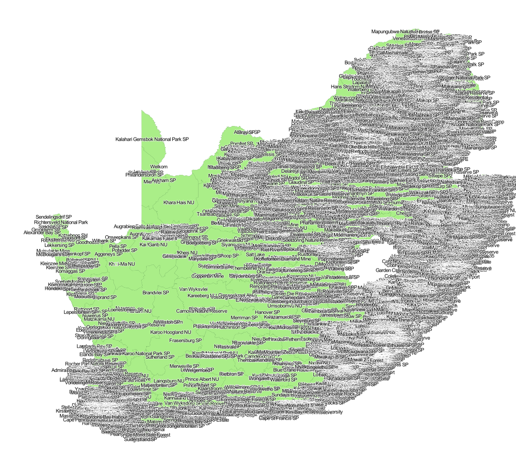
Please note that these are ZIPPED UP becaue of Git's 100MB file limit! If you make changes, zip it up again and add the zip, not the main place folder.
Source: Statistics SA Census 2011 Spatial Metadata